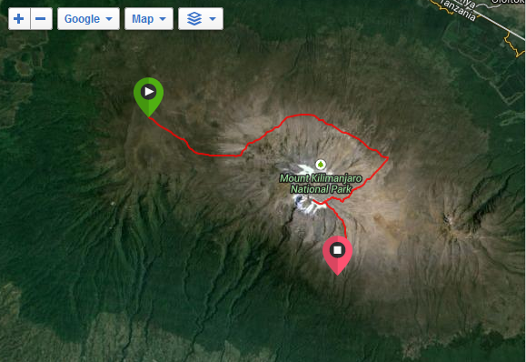
Using a Garmin Forerunner 210 and 220, I have collected GPS tracking data for both the Rongai and Lemosho routes to the summit of Kilimanjaro, Uhuru Peak.
Lemosho Route - March 2015
[Download Google KML File]
Rongai Route - October 2013
[Download Google KML Files]

GPS Data Set on Google Earth
Tags
Kilimanjaro,
GPS,
Rongai,
Telco Together,
Google Maps,
KML